ESSO - Indian National Centre for Ocean Information Services
(An Autonomous Body under the Ministry of Earth Sciences, Govt. of India)
"Fundamentals of Remote Sensing & GIS and Oceanographic Applications"
during
10 - 14 April, 2023
Organized by
International Training Centre for Operational Oceanography (ITCOocean)
ESSO-INCOIS, Hyderabad, India
Remote sensing helps to observe and measure Earth's (ocean, atmosphere, and land) resources. The utilisation of remote sensing tools and satellite data is inevitable in studying global seas. Therefore, remote sensing and Geographic Information System (GIS) are integral parts of the marine sciences course curriculum of the different academia. The oceanography students and scholars must be imparted theoretical knowledge on remote sensing complemented with advanced applications for proficient study of the oceans. This course focuses on the fundamentals of remote sensing, classical theories, sensors for oceanographic applications, and remote sensing data analysis using open-source softwares. At the end of the course, participants will gain knowledge on the basics of remote sensing with practical knowledge to apply learning techniques and how to derive meaningful results.
- Fundamentals of remote sensing.
- Thermal remote sensing and its applications
- Microwave remote sensing and its applications.
- About various satellites and sensors.
- Ocean Colour Remote Sensing and its applications.
- Fundamentals of GIS and its applications.
- Hands-on practice using softwares like SeaDAS and QGIS.
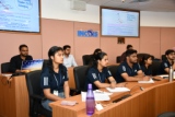
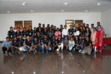
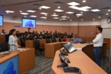
The course is scheduled for a batch of Master’s students of Marine Science from Berhampur University, Odisha.
Only by invitation
10th April - 14th April, 2023.
Faculty Members :
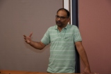
The faculty for the course consists of scientists/experts in different fields drawn from different departments of the host institute (INCOIS).These experts have long and varied experience in the field of Oceanography, Remote sensing & GIS.
Venue :
Offline
International Training Centre for Operational Oceanography (ITCOocean),
Indian National Centre for Ocean Information Services (INCOIS),
Ministry of Earth Sciences, Government of India,
"Ocean Valley", Pragathi Nagar (B.O), Nizampet (S.O)
Hyderabad - 500 090, INDIA
For Any questions please contact:
- Dr.T V S Udaya Bhaskar
Head, Programme Planning & Coordination and Capacity Development Division (PPC)
Email: itcoocean@incois.gov.in/uday@incois.gov.in
Schedule of the Course
| Time | Day 1 (10-04-2023) | Day 2 (11-04-2023) | Day 3 (12-04-2023) | Day 4 (13-04-2023) | Day 5 (14-04-2023) |
|---|---|---|---|---|---|
(Dr. T Srinivas Kumar) Course Overview, Objectives (Dr. T V S Uday Bhaskar) Brief Self introduction by all participants |
(Dr. N Srinivas Rao) [Presentation_L3_1] [Presentation_L3_2] |
(Dr. N Srinivas Rao) |
(Ms. Goutami Ganga) |
(Dr. R S Mahendra) [Presentation_L10] |
|
(Dr. N Srinivas Rao) [Presentation_L1] |
(Dr. Sanjiba Kumar Baliarsingh) [Presentation_L4] Ocean colour remote sensing (Applications) (Dr. Aneesh A Lotliker) [Presentation_L6] |
(Dr. R S Mahendra) [Presentation_L7] |
(Dr. Prakash Chandra Mohanty) [Presentation_L9] |
Coastal Vulnerability Mapping (Dr. Prakash Ch. Mohanty, Mr. H. Sivakumar & Ms. Goutami Ganga) |
|
(Dr. Prakash Chandra Mohanty) |
Retrieval, processing, visualization, and interpretation of remote sensing data (Mr. H. Shivakumar, Ms. Goutami Ganga & Mr. Chandrasekhar) |
Ocean colour and SST image processing and data interpretation using SeaDAS (Mr. Alakes Samanta, Dr. Premkumar & Ms. Susmita Raulo) |
Image georeferencing feature extraction, visual image interpretation (Mr. H. Shivakumar & Ms. Goutami Ganga) [Presentation_P3] |
(14:00 to 14:30) Visit to Ground Station (14:30 to cont…) |
|
Introduction to Open source software(Q GIS) (Mr. H. Shivakumar & Ms. Goutami Ganga) |
Satellite image classification (supervised & unsupervised) & interpretation. (Mr. H. Shivakumar & Ms.Goutami Ganga) [Presentation_P1] |
Coral reef mapping and monitoring using remote sensing data. (Dr. Prakash Chandra Mohanty & Mr. H. Sivakumar) [Presentation_P2_1] [Presentation_P2_2] |
Map generation and Layout Preparation (Mr. H. Shivakumar & Mr. Chandrasekhar) |
(Mr. Harsa Bardhan Dalabehera) |
|

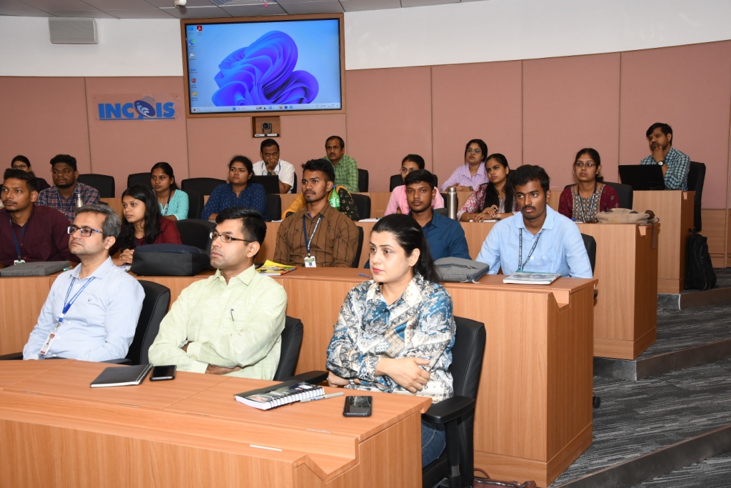
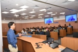
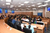
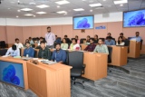
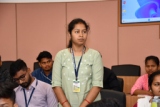
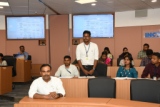
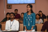
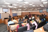
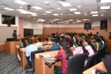
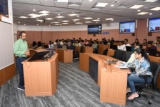
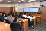
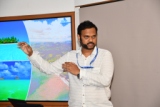
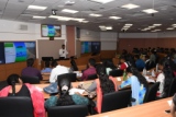
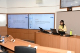
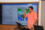
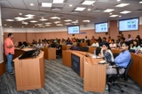
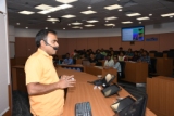
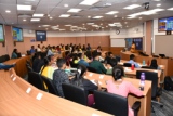
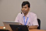
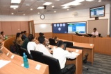
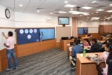
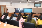
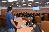
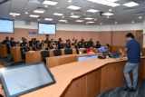
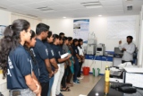
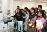
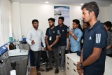
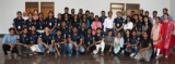
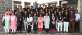
Photo Gallery